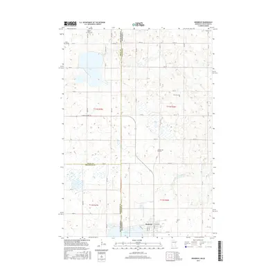
2016 Map of Hendricks
USGS Topo · Published 2016About this map
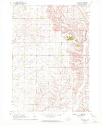
Hendricks sits along the northern shore of Lake Hendricks, anchoring a landscape defined by the prominent Coteau des Prairies upland. This 2016 survey captures the intricate borderlands where South Dakota meets Minnesota, specifically the meeting point of Deuel, Brookings, and Lincoln counties. The area is marked by a high density of small, community-focused sites that speak to the region's diverse immigrant history, including the Bohemian Cem, Swedish Mission Church, and its associated Swedish Mission Church Cem.
Find a feature on this map
42 named features on this map. Tap any name to fly to it.
Don’t see what you’re looking for? This feature index may not catch every label — zoom into the map to look around manually.
Map Details
Editions of this 2016 Hendricks Map
This is the sole edition of this map. No revisions or reprints were ever made.
Other maps of this area

1953 · Watertown
USGS Topo · 1:250,000

1958 · Watertown
USGS Topo · 1:250,000
1967 · Canby
USGS Topo · 1:24,000
1967 · Canby NW
USGS Topo · 1:24,000
1967 · Lake Benton NW
USGS Topo · 1:24,000
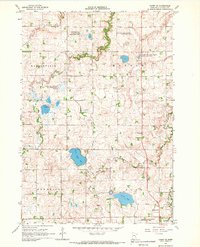
1967 · Canby SE
USGS Topo · 1:24,000
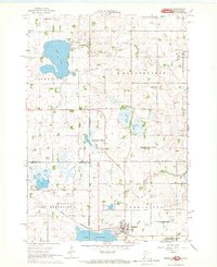
1967 · Hendricks
USGS Topo · 1:24,000
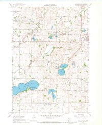
1967 · Lake Benton NE
USGS Topo · 1:24,000
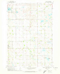
1970 · Brandt
USGS Topo · 1:24,000
1970 · White NE
USGS Topo · 1:24,000
Featured Places
- Hendricks, MN
- Scandinavia Township, SD
- Lake Hendricks Township, SD
- Brookings County, SD
- Deuel County, SD