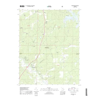
2017 Map of Hendrickson
USGS Topo · Published 2017About this map
Hendrickson sits at the southern edge of the Mark Twain National Forest, where the Black River snakes through the Ozark foothills. This survey documents a landscape defined by deep valleys and timbered ridges, with names like Seed Tick Ridge and Deer Lick Ridge marking the high ground. The concentration of family and community burial sites, including Cool Spring Cem and Rucker Cem, points to a long-established rural population scattered among the hollows. The presence of the Ozark Trail Wappapello Section and Lake Wappapello to the northeast highlights the area's transition into a recreational corridor, even as older landmarks like Military Crossing Cem remain as quiet indicators of the region's heritage.
Find a feature on this map
71 named features on this map. Tap any name to fly to it.
Don’t see what you’re looking for? This feature index may not catch every label — zoom into the map to look around manually.
Map Details
Editions of this 2017 Hendrickson Map
This is the sole edition of this map. No revisions or reprints were ever made.
Other maps of this area
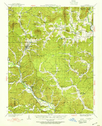
1932 · Piedmont
USGS Topo · 1:62,500
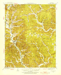
1934 · Greenville
USGS Topo · 1:62,500
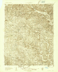
1934 · Williamsville
USGS Topo · 1:48,000
1935 · Poplar Bluff
USGS Topo · 1:62,500
1935 · Piedmont
USGS Topo · 1:62,500
1939 · Greenville
USGS Topo · 1:62,500
1939 · Poplar Bluff
USGS Topo · 1:62,500
1940 · Williamsville
USGS Topo · 1:62,500

1949 · Rolla
USGS Topo · 1:250,000
1949 · Poplar Bluff
USGS Topo · 1:62,500