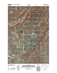
2011 Map of Henkle Butte
USGS Topo · Published 2011About this map
Cloverdale serves as the central settlement point in this Central Oregon landscape, where the management of water is central to the area's geography. The Cloverdale Ditch and several impoundments, including Watson Reservoir and Cyrus Reservoir, illustrate the critical role of irrigation in this arid region. The Three Sisters Irrigation District Dam stands as a primary piece of infrastructure managing these resources.
Find a feature on this map
59 named features on this map. Tap any name to fly to it.
Don’t see what you’re looking for? This feature index may not catch every label — zoom into the map to look around manually.
Map Details
Editions of this 2011 Henkle Butte Map
This is the sole edition of this map. No revisions or reprints were ever made.
Other maps of this area
1926 · Bend
USGS Topo · 1:125,000
1929 · Bend
USGS Topo · 1:125,000
1929 · Three Sisters
USGS Topo · 1:125,000
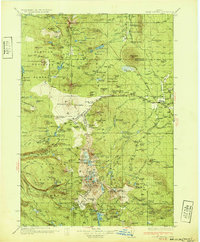
1932 · Three Sisters
USGS Topo · 1:125,000
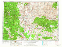
1955 · Bend
USGS Topo · 1:250,000
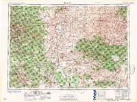
1957 · Bend
USGS Topo · 1:250,000
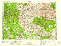
1958 · Bend
USGS Topo · 1:250,000
1959 · Broken Top
USGS Topo · 1:62,500
1959 · Sisters
USGS Topo · 1:62,500
1962 · Cline Falls
USGS Topo · 1:24,000