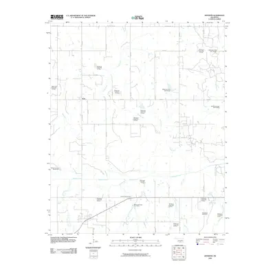
2009 Map of Hennepin
USGS Topo · Published 2009About this map
Katie sits as the central hub of this Oklahoma landscape, which is defined by an intricate network of waterways and extensive watershed management. The terrain is partitioned by a grid of rural routes including Katie Rd and Old State Hwy 29, which connect isolated homesteads and ranch lands. A notable concentration of water control structures is evident, with numerous dams such as Wildhorse Creek Site 77 Dam and the curiously labeled Oknoname 04919 Dam regulating the flow of tributaries like Fivemile Creek and Wildhorse Creek. For genealogists and local historians, the Fivemile Creek Cemetery serves as a vital anchor point for family research in this part of Garvin County. The map documents a landscape where modern infrastructure and agricultural needs have modified the natural drainage of Sandy Creek and Rock Creek.
Find a feature on this map
44 named features on this map. Tap any name to fly to it.
Don’t see what you’re looking for? This feature index may not catch every label — zoom into the map to look around manually.
Map Details
Editions of this 2009 Hennepin Map
This is the sole edition of this map. No revisions or reprints were ever made.
Other maps of this area

1898 · Pauls Valley
USGS Topo · 1:125,000

1901 · Ardmore
USGS Topo · 1:125,000

1902 · Pauls Valley
USGS Topo · 1:125,000

1918 · Ardmore
USGS Topo · 1:125,000

1957 · Ardmore
USGS Topo · 1:250,000

1963 · Ardmore
USGS Topo · 1:250,000

1964 · Turner Falls
USGS Topo · 1:24,000

1965 · Pauls Valley
USGS Topo · 1:24,000

1965 · Joy
USGS Topo · 1:24,000

1968 · Fox NE
USGS Topo · 1:24,000