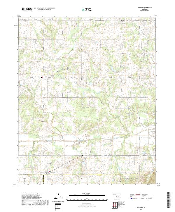
2022 Map of Hennepin
USGS Topo · Published 2022About this map
The Arbuckle Mountains provide a backdrop for this section of south-central Oklahoma, where the landscape is defined by the drainage basins of several prominent creeks. The settlement of Hennepin sits near the confluence of Wildhorse Cr and Eightmile Cr, serving as a central point in a rural network that connects the northern community of Brady and the central village of Katie. This map captures a landscape where section lines dictate the road grid, yet the meandering paths of Sandy Cr and Garrison Cr frequently interrupt the geometry of the land.
Find a feature on this map
57 named features on this map. Tap any name to fly to it.
Don’t see what you’re looking for? This feature index may not catch every label — zoom into the map to look around manually.
Map Details
Editions of this 2022 Hennepin Map
This is the sole edition of this map. No revisions or reprints were ever made.
Other maps of this area

1898 · Pauls Valley
USGS Topo · 1:125,000

1901 · Ardmore
USGS Topo · 1:125,000

1902 · Pauls Valley
USGS Topo · 1:125,000

1918 · Ardmore
USGS Topo · 1:125,000

1957 · Ardmore
USGS Topo · 1:250,000

1963 · Ardmore
USGS Topo · 1:250,000

1964 · Turner Falls
USGS Topo · 1:24,000

1965 · Pauls Valley
USGS Topo · 1:24,000

1965 · Joy
USGS Topo · 1:24,000

1968 · Fox NE
USGS Topo · 1:24,000