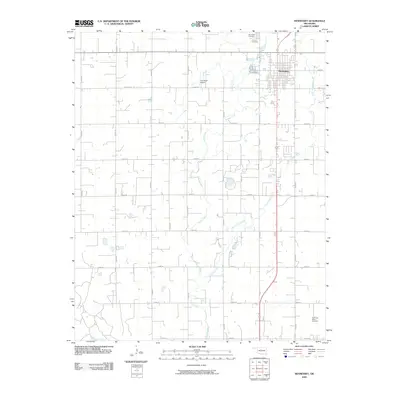
2009 Map of Hennessey
USGS Topo · Published 2009About this map
The town of Hennessey serves as the central hub of this Kingfisher County landscape, defined by a rigid section-line road grid that overlays the winding paths of Turkey Creek and Little Turkey Creek. This 2009 survey highlights a persistent agrarian settlement pattern where cemetery locations like Hennessey Cemetery, Calvary Cemetery, and the remote Evans and Burns Cemetery provide vital points of reference for local family history. To the north, the Enix Boys Airport represents a small-scale aviation footprint in the plains, while the southwestern corner of the quadrangle is anchored by the wide channel of the Cimarron River. The map illustrates the intersection of modern transportation routes, such as Cemetery Rd and Mitchell Rd, with the natural drainage systems of the Oklahoma prairie.
Find a feature on this map
30 named features on this map. Tap any name to fly to it.
Don’t see what you’re looking for? This feature index may not catch every label — zoom into the map to look around manually.
Map Details
Editions of this 2009 Hennessey Map
This is the sole edition of this map. No revisions or reprints were ever made.
Other maps of this area

1892 · Kingfisher
USGS Topo · 1:125,000

1893 · Hennessey
USGS Topo · 1:62,500

1893 · Loyal
USGS Topo · 1:62,500

1893 · Ames
USGS Topo · 1:62,500

1895 · Kingfisher
USGS Topo · 1:125,000

1954 · Oklahoma City
USGS Topo · 1:250,000

1955 · Clinton
USGS Topo · 1:250,000

1955 · Enid
USGS Topo · 1:250,000

1955 · Woodward
USGS Topo · 1:250,000

1956 · Ames
USGS Topo · 1:62,500