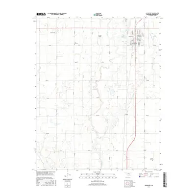
2016 Map of Hennessey
USGS Topo · Published 2016About this map
Hennessey stands as the primary hub of this Oklahoma landscape, defined by a grid of streets such as N Main St and S Arapaho St that serve the surrounding agricultural plains of Kingfisher County. The town is flanked by essential community markers, including Calvary Cem to the north and Maple Grove Cem to the west. Farther south, the smaller settlement of Jacks sits along the same north-south corridor, providing a focal point for the rural reaches between the many section-line roads that crisscross the territory.
Find a feature on this map
54 named features on this map. Tap any name to fly to it.
Don’t see what you’re looking for? This feature index may not catch every label — zoom into the map to look around manually.
Map Details
Editions of this 2016 Hennessey Map
This is the sole edition of this map. No revisions or reprints were ever made.
Other maps of this area

1892 · Kingfisher
USGS Topo · 1:125,000

1893 · Hennessey
USGS Topo · 1:62,500

1893 · Loyal
USGS Topo · 1:62,500

1893 · Ames
USGS Topo · 1:62,500

1895 · Kingfisher
USGS Topo · 1:125,000

1954 · Oklahoma City
USGS Topo · 1:250,000

1955 · Clinton
USGS Topo · 1:250,000

1955 · Enid
USGS Topo · 1:250,000

1955 · Woodward
USGS Topo · 1:250,000

1956 · Ames
USGS Topo · 1:62,500