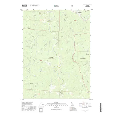
2018 Map of Hennessy Peak
USGS Topo · Published 2018About this map
Hawkins Bar sits at the northern confluence of the Trinity River and Pony Creek, marking a historic settlement point within the Six Rivers National Forest. This 2018 survey details a landscape defined by the deep drainage of the South Fork Trinity River, where significant elevation changes occur between the riverbed and high points like Hennessy Peak and Gainor Peak. The area is characterized by an extensive network of forestry roads, including Hennessey Road and Underwood Mountain Road, which provide access to the timberlands and ridges of the Trinity National Forest. Small water bodies such as Big Lake and Sucker Lake are found tucked into the high ridges, while to the east, the community of Burnt Ranch appears along the primary river corridor. The geography transitions from the jagged Salmon Mountains in the north toward prominent local landmarks like Sugarloaf Mountain and the steep incline of Castle Rock near the southern boundary.
Find a feature on this map
67 named features on this map. Tap any name to fly to it.
Don’t see what you’re looking for? This feature index may not catch every label — zoom into the map to look around manually.
Map Details
Editions of this 2018 Hennessy Peak Map
This is the sole edition of this map. No revisions or reprints were ever made.
Other maps of this area
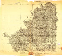
1909 · Big Bar
USGS Topo · 1:96,000
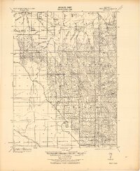
1914 · Pilot Creek
USGS Topo · 1:62,500
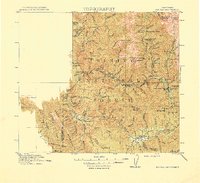
1915 · Big Bar and Vicinity
USGS Topo · 1:250,000
1922 · China Flat
USGS Topo · 1:62,500
1951 · Pilot Creek
USGS Topo · 1:62,500
1951 · Hyampom
USGS Topo · 1:62,500
1951 · Ironside Mountain
USGS Topo · 1:62,500
1952 · Willow Creek
USGS Topo · 1:62,500
1958 · Redding
USGS Topo · 1:250,000
1977 · Board Camp Mtn
USGS Topo · 1:24,000