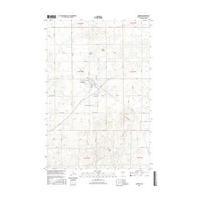
2016 Map of Henning
USGS Topo · Published 2016About this map
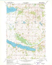
Henning serves as the central hub of this Otter Tail County landscape, where the Soo Line RR corridor bisects the town alongside Holden Ave and Front St. The area is notably dense with commemorative sites, including several well-established burial grounds such as Grace Cem, Henning Township Cem, and the Norwegian Methodist Church Cem. These features, alongside the Trinity Lutheran Church Cem, point to the deep-seated community and denominational history of this rural Minnesota region.
Find a feature on this map
46 named features on this map. Tap any name to fly to it.
Don’t see what you’re looking for? This feature index may not catch every label — zoom into the map to look around manually.
Map Details
Editions of this 2016 Henning Map
This is the sole edition of this map. No revisions or reprints were ever made.
Other maps of this area
1912 · Battle Lake
USGS Topo · 1:62,500
1914 · Battle Lake
USGS Topo · 1:62,500

1953 · Brainerd
USGS Topo · 1:250,000

1957 · Brainerd
USGS Topo · 1:250,000
1958 · Brainerd
USGS Topo · 1:250,000
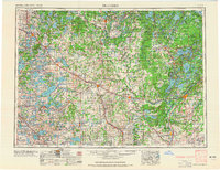
1965 · Brainerd
USGS Topo · 1:250,000
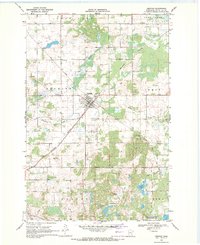
1969 · Henning
USGS Topo · 1:24,000
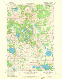
1969 · Parkers Prairie NW
USGS Topo · 1:24,000
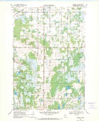
1969 · Henning SE
USGS Topo · 1:24,000
1969 · Heinola
USGS Topo · 1:24,000