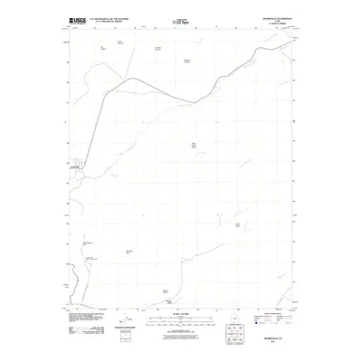
2011 Map of Henrieville
USGS Topo · Published 2011About this map
Henrieville sits at the western edge of this desert landscape, where the confluence of Henrieville Creek and Dry Creek shapes the local geography. The map reveals a complex system of drainage and erosion, with prominent features like Kadachrome Flat and the geological landmark Chimney Rock defining the southern reaches. This area is characterized by vast basins and named corridors such as Little Creek Valley and Big Dry Valley, connected by the early 21st-century paths of Kodachrome State Park Rd and Cottonwood Canyon Rd. Public access to these lands is centered around the Kodachrome Basin Campground, providing a base for exploring the northern canyons, including Coal Canyon, Jimmie Canyon, and Pardner Canyon. The hydrography reflects a land of intermittent flows, evidenced by names like Wiggler Wash and Dry Valley Creek.
Find a feature on this map
20 named features on this map. Tap any name to fly to it.
Don’t see what you’re looking for? This feature index may not catch every label — zoom into the map to look around manually.
Map Details
Editions of this 2011 Henrieville Map
This is the sole edition of this map. No revisions or reprints were ever made.
Other maps of this area
1886 · Kanab
USGS Topo · 1:250,000
1886 · Escalante
USGS Topo · 1:250,000
1953 · Cedar City
USGS Topo · 1:250,000
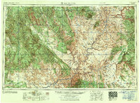
1956 · Escalante
USGS Topo · 1:250,000
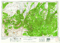
1958 · Cedar City
USGS Topo · 1:250,000
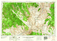
1960 · Escalante
USGS Topo · 1:250,000
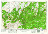
1962 · Cedar City
USGS Topo · 1:250,000
1964 · Canaan Peak
USGS Topo · 1:24,000
1964 · Henrieville
USGS Topo · 1:24,000
1964 · Pine Lake
USGS Topo · 1:24,000