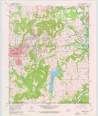
1962 Map of Henryetta
USGS Topo · Published 1976About this map
Industrial and coal-mining history define this landscape during the early 1960s, centered on the city of Henryetta at the intersection of major rail lines. The northern half of the map reveals the region's mining and smelting legacy, with the town of Coalton and the industrial activity at Spelter City, where a smelter is clearly marked. The rail network, featuring the St Louis - San Francisco and the Kansas Oklahoma and Gulf, underscores the area's role as a transport hub for Oklahoma's mineral wealth.
Find a feature on this map
41 named features on this map. Tap any name to fly to it.
Don’t see what you’re looking for? This feature index may not catch every label — zoom into the map to look around manually.
Map Details
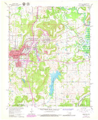
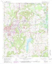
Editions of this 1962 Henryetta Map
4 editions found
Other maps of this area

1896 · Okmulgee
USGS Topo · 1:125,000

1900 · Canadian
USGS Topo · 1:125,000

1900 · Wewoka
USGS Topo · 1:125,000

1900 · Okmulgee
USGS Topo · 1:125,000

1901 · Nuyaka
USGS Topo · 1:125,000

1946 · Fort Smith
USGS Topo · 1:250,000

1954 · Oklahoma City
USGS Topo · 1:250,000

1957 · Oklahoma City
USGS Topo · 1:250,000

1962 · Henryetta
USGS Topo · 1:24,000

1962 · Raiford
USGS Topo · 1:24,000