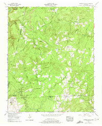
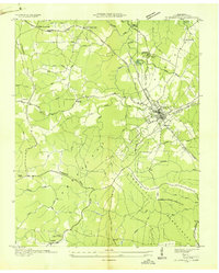
1956 Map of Herbert Domain
USGS Topo · Published 1974About this map
Bledsoe State Forest dominates the southern reaches of this landscape on the Cumberland Plateau, where the rugged topography is defined by deep creek incisions and high ridges. The State Training and Agricultural School at Herbert Domain represents a significant institutional footprint in this isolated corner of the state during the mid-1950s. Settlement patterns follow the high ground and narrow hollows, with small communities like Winesap and Newton connected by primitive roads.
Find a feature on this map
66 named features on this map. Tap any name to fly to it.
Don’t see what you’re looking for? This feature index may not catch every label — zoom into the map to look around manually.
Map Details
Editions of this 1956 Herbert Domain Map
3 editions found
Other maps of this area

1892 · Pikeville
USGS Topo · 1:125,000

1895 · Pikeville
USGS Topo · 1:125,000

1909 · Sequatchie Valley
USGS Topo · 1:62,500

1910 · Pikeville
USGS Topo · 1:62,500

1912 · Crossville
USGS Topo · 1:62,500

1935 · Melvine
USGS Topo · 1:24,000

1935 · Billingsley Gap
USGS Topo · 1:24,000
1935 · Vandever
USGS Topo · 1:24,000
1936 · Crossville
USGS Topo · 1:24,000

1943 · Cookeville
USGS Topo · 1:100,000