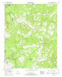
1956 Map of Herbert Domain
USGS Topo · Published 1978About this map
Bledsoe State Forest dominates the southern reaches of this landscape, where the Cumberland Plateau terrain is defined by deep hollows and narrow ridges. The northern portion of the map reveals a pattern of mid-century industrial activity with several strip mines located near Thomas Springs and Dugger Hill. This transition between resource extraction and protected woodland is marked by small, family-named landmarks and essential community nodes like the Midway Sch and Zion Hill Church.
Find a feature on this map
67 named features on this map. Tap any name to fly to it.
Don’t see what you’re looking for? This feature index may not catch every label — zoom into the map to look around manually.
Map Details
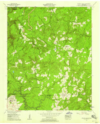
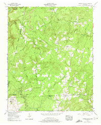
Editions of this 1956 Herbert Domain Map
3 editions found
Other maps of this area

1892 · Pikeville
USGS Topo · 1:125,000

1895 · Pikeville
USGS Topo · 1:125,000

1909 · Sequatchie Valley
USGS Topo · 1:62,500

1910 · Pikeville
USGS Topo · 1:62,500

1912 · Crossville
USGS Topo · 1:62,500

1935 · Melvine
USGS Topo · 1:24,000

1935 · Billingsley Gap
USGS Topo · 1:24,000
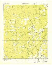
1935 · Vandever
USGS Topo · 1:24,000
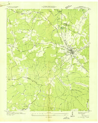
1936 · Crossville
USGS Topo · 1:24,000

1943 · Cookeville
USGS Topo · 1:100,000