
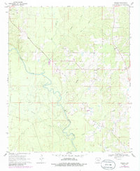
1970 Map of Herbine
USGS Topo · Published 1972About this map
The Saline River winds through the heart of this Cleveland County landscape, carving a path past Vince Bluff and defining the local topography between the Redland and Lee townships. In the early 1970s, the rural community of Herbine served as a central point for local families, supported by the Prosperity Cem and the Roadside Park. To the northeast, the settlement of Pansy sits near a prominent Lookout Tower, while the northwest corner is anchored by the Macedonia Ch and Macedonia Cem.
Find a feature on this map
25 named features on this map. Tap any name to fly to it.
Don’t see what you’re looking for? This feature index may not catch every label — zoom into the map to look around manually.
Map Details
Editions of this 1970 Herbine Map
2 editions found
Other maps of this area

1935 · Feenyville
USGS Topo · 1:62,500

1953 · Greenwood
USGS Topo · 1:250,000

1953 · El Dorado
USGS Topo · 1:250,000

1956 · Greenwood
USGS Topo · 1:250,000

1957 · El Dorado
USGS Topo · 1:250,000

1958 · El Dorado
USGS Topo · 1:250,000

1960 · El Dorado
USGS Topo · 1:250,000
1970 · Calmer
USGS Topo · 1:24,000

1970 · New Edinburg
USGS Topo · 1:24,000
1970 · Rison
USGS Topo · 1:24,000