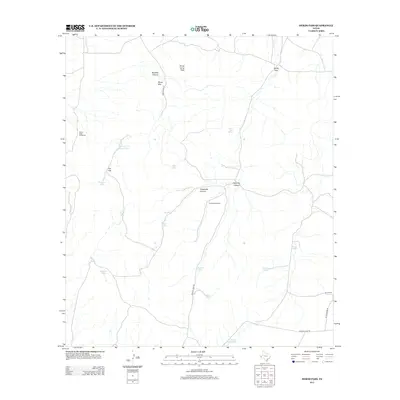
2012 Map of Herds Pass
USGS Topo · Published 2012About this map
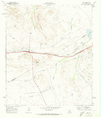
Herds Pass serves as a central gateway through the high terrain of Culberson County, where the landscape is defined by its dramatic relief and essential water infrastructure. This ranching environment relies on a network of catchment systems such as Head-of-the-Canyon Tank, Buzzard Roost Tank, and Redford Tank to sustain life in the arid Trans-Pecos. Prominent peaks like Music Mtn and Horse Camp Peak overlook the deep cuts of Boracho Canyon and Threemile Canyon. Human presence is marked by isolated landmarks and functional outposts, including the Ikins Ranch and the Buena Vista Windmills. Movement across this cattle country is dictated by primitive tracks like Fence Post Rd and Hi Lonesome Rd, which connect the scattered water tanks and high-altitude springs that have long anchored local land use.
Find a feature on this map
27 named features on this map. Tap any name to fly to it.
Don’t see what you’re looking for? This feature index may not catch every label — zoom into the map to look around manually.
Map Details
Editions of this 2012 Herds Pass Map
This is the sole edition of this map. No revisions or reprints were ever made.
Other maps of this area
1894 · Valentine
USGS Topo · 1:125,000
1897 · Valentine
USGS Topo · 1:125,000
1928 · Kent
USGS Topo · 1:125,000
1943 · Valentine
USGS Topo · 1:125,000

1954 · Van Horn
USGS Topo · 1:250,000

1958 · Van Horn
USGS Topo · 1:250,000
1959 · Marfa
USGS Topo · 1:250,000
1965 · Marfa
USGS Topo · 1:250,000
1970 · Boracho
USGS Topo · 1:24,000
1970 · Kent
USGS Topo · 1:24,000