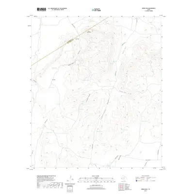
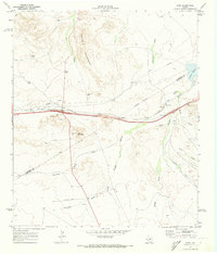
2019 Map of Herds Pass
USGS Topo · Published 2019About this map
The high desert terrain of the Trans-Pecos comes into sharp focus at Herds Pass, where the landscape is defined by a complex network of canyons and peaks along the Culberson County and Jeff Davis County line. Ranching infrastructure dominates the hydrology of this arid environment, evidenced by the numerous catchment points such as Head-of-the-Canyon Tank, Buzzard Roost Tank, and Fish Tank. The northern reaches of the sheet are anchored by Horse Camp Peak and Music Mtn, rising above the winding corridors of Boracho Canyon and China Draw. Local transport relies on a web of unpaved tracks, including Broken Tank Rd and Fence Post Rd, which navigate the rugged drainages of Twomile Canyon and Threemile Canyon. This survey captures the traditional land use patterns of West Texas, where water security at sites like Herds Pass Spring dictated the placement of camps and livestock stations.
Find a feature on this map
32 named features on this map. Tap any name to fly to it.
Don’t see what you’re looking for? This feature index may not catch every label — zoom into the map to look around manually.
Map Details
Editions of this 2019 Herds Pass Map
This is the sole edition of this map. No revisions or reprints were ever made.
Other maps of this area
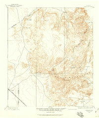
1894 · Valentine
USGS Topo · 1:125,000
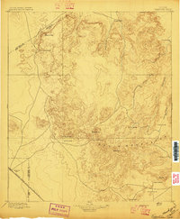
1897 · Valentine
USGS Topo · 1:125,000
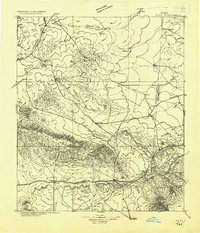
1928 · Kent
USGS Topo · 1:125,000
1943 · Valentine
USGS Topo · 1:125,000

1954 · Van Horn
USGS Topo · 1:250,000

1958 · Van Horn
USGS Topo · 1:250,000
1959 · Marfa
USGS Topo · 1:250,000
1965 · Marfa
USGS Topo · 1:250,000
1970 · Boracho
USGS Topo · 1:24,000
1970 · Kent
USGS Topo · 1:24,000