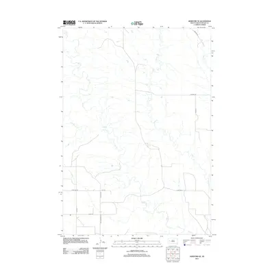
2012 Map of Hereford NE
USGS Topo · Published 2012About this map
Elm Cr and its numerous tributaries, including Dry Elm Cr and E Elm Cr, define the drainage patterns of this Meade County landscape. The terrain is a network of draws and creek beds that illustrate the complex hydrologic character of the western South Dakota plains. Though sparse in major settlements, the map reveals a structured grid of rural infrastructure, from the southern stretch of New Underwood Rd and Alkali Rd to more remote paths like Hay Draw Rd and Montana Pl. These secondary roads and section-line tracks like Nordic Pl trace the paths between rangeland and remote homesteads, providing a clear record of the area's modern agricultural and transport layout.
Find a feature on this map
14 named features on this map. Tap any name to fly to it.
Don’t see what you’re looking for? This feature index may not catch every label — zoom into the map to look around manually.
Map Details
Editions of this 2012 Hereford NE Map
This is the sole edition of this map. No revisions or reprints were ever made.
Other maps of this area

1953 · Hereford SE
USGS Topo · 1:24,000

1953 · Hereford
USGS Topo · 1:24,000

1953 · Hereford SW
USGS Topo · 1:24,000

1953 · Hereford NE
USGS Topo · 1:24,000

1953 · Rapid City
USGS Topo · 1:250,000

1954 · Elm Springs SW
USGS Topo · 1:24,000

1954 · Haydraw
USGS Topo · 1:24,000

1957 · Rapid City
USGS Topo · 1:250,000

1959 · Fairpoint SW
USGS Topo · 1:24,000

1959 · Union Center
USGS Topo · 1:24,000