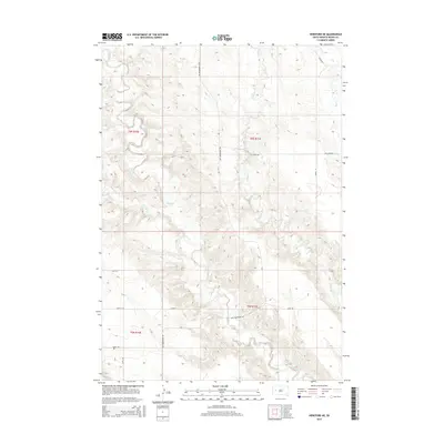
2015 Map of Hereford NE
USGS Topo · Published 2015About this map
Elm Cr and its tributaries define this expanse of western South Dakota, carving a network of drainage patterns through the prairie. The landscape is structured by a strict section-line road system, including New Underwood Rd and Wilcox Rd, reflecting the late-era ranching and agricultural divisions of the region. Local transit is further facilitated by specialized routes such as Hay Draw Rd and Hope Rd, which navigate the terrain around E Elm Cr and Dry Elm Cr. This survey illustrates how contemporary land management continues to utilize the natural waterways of the Hay Cr watershed for property boundaries and access. The map reveals the persistent rural character of Meade County, where the topography dictates the placement of long-standing paths like Alkali Rd and Cross S Rd.
Find a feature on this map
18 named features on this map. Tap any name to fly to it.
Don’t see what you’re looking for? This feature index may not catch every label — zoom into the map to look around manually.
Map Details
Editions of this 2015 Hereford NE Map
This is the sole edition of this map. No revisions or reprints were ever made.
Other maps of this area

1953 · Hereford SE
USGS Topo · 1:24,000

1953 · Hereford
USGS Topo · 1:24,000

1953 · Hereford SW
USGS Topo · 1:24,000

1953 · Hereford NE
USGS Topo · 1:24,000

1953 · Rapid City
USGS Topo · 1:250,000

1954 · Elm Springs SW
USGS Topo · 1:24,000

1954 · Haydraw
USGS Topo · 1:24,000

1957 · Rapid City
USGS Topo · 1:250,000

1959 · Fairpoint SW
USGS Topo · 1:24,000

1959 · Union Center
USGS Topo · 1:24,000