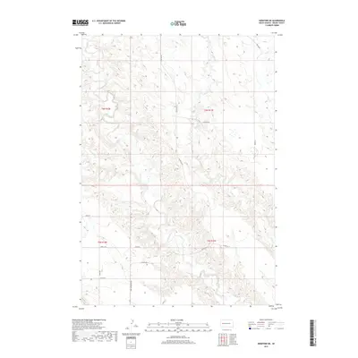
2017 Map of Hereford NE
USGS Topo · Published 2017About this map
Elm Cr and its tributaries carve a complex drainage system through this portion of Meade County, defining the local topography and land use. The drainage network, which includes Dry Elm Cr and E Elm Cr, influences the placement of the sparse road network. Primary access is maintained through a series of numbered and named routes, most notably Co Hwy MC-21 and Co Hwy MC-27, which connect the rural landscape. Roads like New Underwood Rd and Alkali Rd suggest the historical connectivity between these prairie sections and larger regional hubs. The area is characterized by a mix of open range and subtle watercourses such as Hay Cr, showing a landscape primarily shaped by natural hydrology rather than dense urban development.
Find a feature on this map
20 named features on this map. Tap any name to fly to it.
Don’t see what you’re looking for? This feature index may not catch every label — zoom into the map to look around manually.
Map Details
Editions of this 2017 Hereford NE Map
This is the sole edition of this map. No revisions or reprints were ever made.
Other maps of this area

1953 · Hereford SE
USGS Topo · 1:24,000

1953 · Hereford
USGS Topo · 1:24,000

1953 · Hereford SW
USGS Topo · 1:24,000

1953 · Hereford NE
USGS Topo · 1:24,000

1953 · Rapid City
USGS Topo · 1:250,000

1954 · Elm Springs SW
USGS Topo · 1:24,000

1954 · Haydraw
USGS Topo · 1:24,000

1957 · Rapid City
USGS Topo · 1:250,000

1959 · Fairpoint SW
USGS Topo · 1:24,000

1959 · Union Center
USGS Topo · 1:24,000