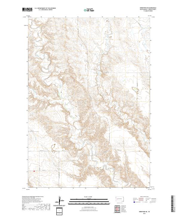
2021 Map of Hereford NE
USGS Topo · Published 2021About this map
Elm Cr and its tributaries carve a network of drainages across this Meade County landscape, defining the rural character of the region. The map captures a sparsely populated territory north of New Underwood, where the land is organized by the Public Land Survey System into townships like t6n r10e and t5n r11e. Water is the primary geographic feature, with E Elm Cr, Hay Cr, and Dry Elm Cr winding through the terrain. A grid of section-line roads and named routes, including New Underwood Rd and Alkali Rd, provides the essential infrastructure for the ranches and homesteads that dot this prairie environment. The presence of routes like Hay Draw Rd and Cross S Rd reflects the enduring agricultural and livestock-focused economy of this portion of South Dakota.
Find a feature on this map
20 named features on this map. Tap any name to fly to it.
Don’t see what you’re looking for? This feature index may not catch every label — zoom into the map to look around manually.
Map Details
Editions of this 2021 Hereford NE Map
This is the sole edition of this map. No revisions or reprints were ever made.
Other maps of this area

1953 · Hereford SE
USGS Topo · 1:24,000

1953 · Hereford
USGS Topo · 1:24,000

1953 · Hereford SW
USGS Topo · 1:24,000

1953 · Hereford NE
USGS Topo · 1:24,000

1953 · Rapid City
USGS Topo · 1:250,000

1954 · Elm Springs SW
USGS Topo · 1:24,000

1954 · Haydraw
USGS Topo · 1:24,000

1957 · Rapid City
USGS Topo · 1:250,000

1959 · Fairpoint SW
USGS Topo · 1:24,000

1959 · Union Center
USGS Topo · 1:24,000