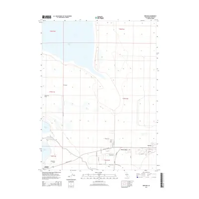
2015 Map of Herlong
USGS Topo · Published 2015About this map
Honey Lake dominates the northern landscape of this High Desert region in Lassen County, where the vast Honey Lake Valley meets the base of the Sierra Nevada. This map records the layout of the Sierra Army Depot area, centered on the communities of Herlong, Patton Village, and Herlong Junction. The settlement pattern is defined by the military installation's presence, evidenced by the concentration of roads such as Herlong Access Rd, Garnier Rd, and the Herlong Airport.
Find a feature on this map
43 named features on this map. Tap any name to fly to it.
Don’t see what you’re looking for? This feature index may not catch every label — zoom into the map to look around manually.
Map Details
Editions of this 2015 Herlong Map
This is the sole edition of this map. No revisions or reprints were ever made.
Other maps of this area

1886 · Honey Lake
USGS Topo · 1:250,000

1891 · Honey Lake
USGS Topo · 1:250,000

1893 · Honey Lake
USGS Topo · 1:250,000

1950 · Milford
USGS Topo · 1:62,500

1954 · Wendel
USGS Topo · 1:62,500

1954 · Litchfield
USGS Topo · 1:62,500

1954 · Doyle
USGS Topo · 1:62,500

1955 · Westwood
USGS Topo · 1:250,000

1958 · Westwood
USGS Topo · 1:250,000

1959 · Westwood
USGS Topo · 1:250,000