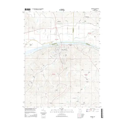
2015 Map of Hermann
USGS Topo · Published 2015About this map
The Missouri River carves a deep valley through this Missouri landscape, separating the riverfront city of Hermann in the south from McKittrick and Bridgeport to the north. This portion of the river corridor is defined by its intricate drainage networks, with Frene Cr and Cole Cr feeding into the main channel. The map reveals a dense concentration of local heritage sites, particularly in the numerous family and community burial grounds like Langendoerfer Cemetery, Beckman Cemetery, and Old Saint George Cemetery that dot the hillsides surrounding the main settlements.
Find a feature on this map
106 named features on this map. Tap any name to fly to it.
Don’t see what you’re looking for? This feature index may not catch every label — zoom into the map to look around manually.
Map Details
Editions of this 2015 Hermann Map
This is the sole edition of this map. No revisions or reprints were ever made.
Other maps of this area

1890 · Hermann
USGS Topo · 1:125,000

1890 · Fulton
USGS Topo · 1:125,000

1935 · Morrison
USGS Topo · 1:48,000

1936 · Hermann
USGS Topo · 1:48,000

1940 · Montgomery City
USGS Topo · 1:62,500

1942 · Montgomery City
USGS Topo · 1:62,500

1942 · Morrison
USGS Topo · 1:62,500

1942 · Hermann
USGS Topo · 1:62,500

1942 · New Florence
USGS Topo · 1:62,500

1945 · Hermann
USGS Topo · 1:62,500