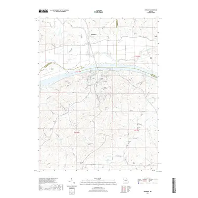
2017 Map of Hermann
USGS Topo · Published 2017About this map
The Missouri River dominates the center of this landscape, carving a wide valley between the high ground of Montgomery, Warren, and Gasconade Counties. On the southern bank, Hermann is the primary settlement, its street grid reaching toward the riverfront while the Hermann Municipal Airport sits on the northern flats. The region is densely marked by family and parish history, evidenced by a high concentration of burial grounds including Old Saint George Cem, Saint George Cem, and Hermann Cem.
Find a feature on this map
130 named features on this map. Tap any name to fly to it.
Don’t see what you’re looking for? This feature index may not catch every label — zoom into the map to look around manually.
Map Details
Editions of this 2017 Hermann Map
This is the sole edition of this map. No revisions or reprints were ever made.
Other maps of this area

1890 · Hermann
USGS Topo · 1:125,000

1890 · Fulton
USGS Topo · 1:125,000

1935 · Morrison
USGS Topo · 1:48,000

1936 · Hermann
USGS Topo · 1:48,000

1940 · Montgomery City
USGS Topo · 1:62,500

1942 · Montgomery City
USGS Topo · 1:62,500

1942 · Morrison
USGS Topo · 1:62,500

1942 · Hermann
USGS Topo · 1:62,500

1942 · New Florence
USGS Topo · 1:62,500

1945 · Hermann
USGS Topo · 1:62,500