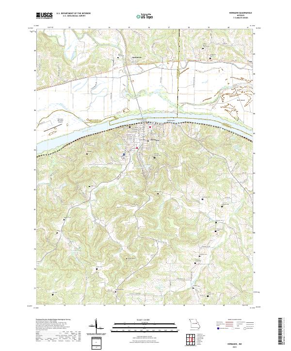
2021 Map of Hermann
USGS Topo · Published 2021About this map
Hermann sits prominently on the south bank of the Missouri River, serving as a cultural and civic hub centered around the Gasconade County Courthouse. The town's grid is dense with local heritage, reflected in numerous religious and family burial grounds such as Saint George Cem and Old Saint George Cem. Across the water to the north, the smaller settlement of McKittrick lies along the historic Katy Trl, following the path of the former rail line through the river valley.
Find a feature on this map
104 named features on this map. Tap any name to fly to it.
Don’t see what you’re looking for? This feature index may not catch every label — zoom into the map to look around manually.
Map Details
Editions of this 2021 Hermann Map
This is the sole edition of this map. No revisions or reprints were ever made.
Other maps of this area

1890 · Hermann
USGS Topo · 1:125,000

1890 · Fulton
USGS Topo · 1:125,000

1935 · Morrison
USGS Topo · 1:48,000

1936 · Hermann
USGS Topo · 1:48,000

1940 · Montgomery City
USGS Topo · 1:62,500

1942 · Montgomery City
USGS Topo · 1:62,500

1942 · Morrison
USGS Topo · 1:62,500

1942 · Hermann
USGS Topo · 1:62,500

1942 · New Florence
USGS Topo · 1:62,500

1945 · Hermann
USGS Topo · 1:62,500