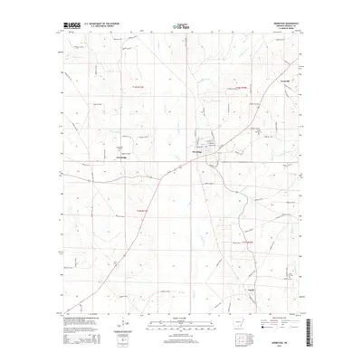
2014 Map of Hermitage
USGS Topo · Published 2014About this map
Hermitage serves as the central hub of this Bradley County landscape, where US-63 and AR-160 intersect to connect several smaller rural settlements. To the west, Gravelridge sits near the headwaters of Buckhead Cr, while the community of Ingalls occupies the southern reaches of the map. The terrain is defined by a dense network of slow-moving waterways, including the winding L'Aigle Cr and the marshy basins of Grassy Pond Cr. For genealogists and local historians, the sheet is particularly valuable for its documentation of family and community burial grounds. Several established sites, such as Holly Springs Cem near Greenville and Union Hill Cem to the south, provide clear spatial context for the region's long-standing families. The map also traces a complex system of county roads, such as Bradley 32 Rd and Bradley 6 Rd, which have long served the timber and agricultural interests of the area.
Find a feature on this map
85 named features on this map. Tap any name to fly to it.
Don’t see what you’re looking for? This feature index may not catch every label — zoom into the map to look around manually.
Map Details
Editions of this 2014 Hermitage Map
This is the sole edition of this map. No revisions or reprints were ever made.
Other maps of this area

1934 · Ingalls
USGS Topo · 1:48,000

1934 · Moro Bay
USGS Topo · 1:62,500

1937 · Ingalls
USGS Topo · 1:62,500

1938 · Moro Bay
USGS Topo · 1:62,500

1939 · Moro Bay
USGS Topo · 1:62,500

1939 · Ingalls
USGS Topo · 1:62,500

1953 · El Dorado
USGS Topo · 1:250,000

1957 · El Dorado
USGS Topo · 1:250,000

1958 · El Dorado
USGS Topo · 1:250,000

1960 · El Dorado
USGS Topo · 1:250,000