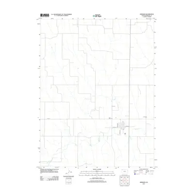
2012 Map of Herndon
USGS Topo · Published 2012About this map
Beaver Cr meanders across this Rawlins County landscape, shaping the development of the high plains of northwest Kansas. In this 2012 survey, the rural grid of section lines is punctuated by the small settlement of Herndon, where local streets like Keystone St and Lockhart St converge near the Po. The map documents several significant burial sites that reflect the area's pioneer heritage and denominational history, including Union Cem, Saint Mary's Cem, and Evangelical Cem. The interplay between the drainage of Beaver Cr and the established road network, such as Co RD-314, illustrates the persistence of small-scale agricultural communities in the modern era.
Find a feature on this map
11 named features on this map. Tap any name to fly to it.
Don’t see what you’re looking for? This feature index may not catch every label — zoom into the map to look around manually.
Map Details
Editions of this 2012 Herndon Map
This is the sole edition of this map. No revisions or reprints were ever made.
Other maps of this area

1951 · Herndon
USGS Topo · 1:62,500

1951 · Oberlin
USGS Topo · 1:62,500

1954 · McCook
USGS Topo · 1:250,000

1954 · Goodland
USGS Topo · 1:250,000

1956 · Goodland
USGS Topo · 1:250,000

1957 · McCook
USGS Topo · 1:250,000

1957 · Goodland
USGS Topo · 1:250,000

1957 · McCook SW
USGS Topo · 1:24,000

1958 · McCook
USGS Topo · 1:250,000

1962 · Culbertson SW
USGS Topo · 1:24,000