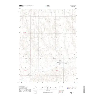
2018 Map of Herndon
USGS Topo · Published 2018About this map
Herndon serves as the central hub of this Rawlins County landscape, where the street grid is clearly defined by routes like Palermo Ave and Sunfield Ave. The town is situated along the banks of Beaver Cr, which meanders across the southern portion of the quadrangle. This area is characterized by its agricultural layout and several significant burial grounds located just outside the main settlement, including Saint Mary's Cem and Union Cem. To the north, the terrain becomes more distinct with the presence of Tipton Canyon, cutting through the high plains. The map provides a precise look at the township and range boundaries, such as t1s r31w, and the rural road network including Co Rd 314, illustrating the organized land division of the High Plains in the early 21st century.
Find a feature on this map
16 named features on this map. Tap any name to fly to it.
Don’t see what you’re looking for? This feature index may not catch every label — zoom into the map to look around manually.
Map Details
Editions of this 2018 Herndon Map
This is the sole edition of this map. No revisions or reprints were ever made.
Other maps of this area

1951 · Herndon
USGS Topo · 1:62,500

1951 · Oberlin
USGS Topo · 1:62,500

1954 · McCook
USGS Topo · 1:250,000

1954 · Goodland
USGS Topo · 1:250,000

1956 · Goodland
USGS Topo · 1:250,000

1957 · McCook
USGS Topo · 1:250,000

1957 · Goodland
USGS Topo · 1:250,000

1957 · McCook SW
USGS Topo · 1:24,000

1958 · McCook
USGS Topo · 1:250,000

1962 · Culbertson SW
USGS Topo · 1:24,000