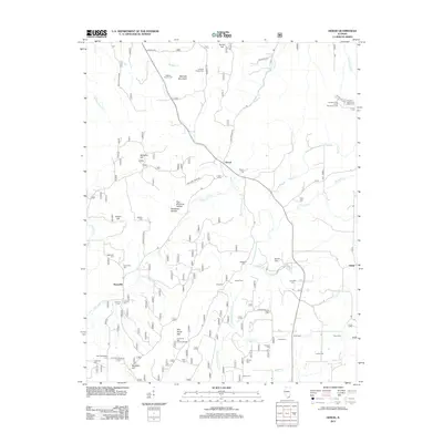
2012 Map of Herod
USGS Topo · Published 2012About this map
Williams Hill and Womble Mountain anchor this survey of the Shawnee National Forest region, where the terrain is marked by deep hollows and high points. The settlement of Herod sits at a central crossroads, while smaller hamlets like Hartsville and Hicks serve as local landmarks. The landscape is a haven for outdoor recreation, featuring the Garden of the Gods Recreation Area and the Pharaoh Camp and Picnic Area in the northeast.
Find a feature on this map
62 named features on this map. Tap any name to fly to it.
Don’t see what you’re looking for? This feature index may not catch every label — zoom into the map to look around manually.
Map Details
Editions of this 2012 Herod Map
This is the sole edition of this map. No revisions or reprints were ever made.
Other maps of this area

1916 · Golconda
USGS Topo · 1:62,500

1916 · Equality
USGS Topo · 1:62,500

1917 · Brownfield
USGS Topo · 1:62,500

1920 · Goloonda
USGS Topo · 1:48,000

1921 · Golconda
USGS Topo · 1:62,500

1925 · Harrisburg
USGS Topo · 1:62,500

1939 · Harrisburg
USGS Topo · 1:62,500

1949 · Paducah
USGS Topo · 1:250,000

1950 · Paducah
USGS Topo · 1:250,000

1954 · Paducah
USGS Topo · 1:250,000