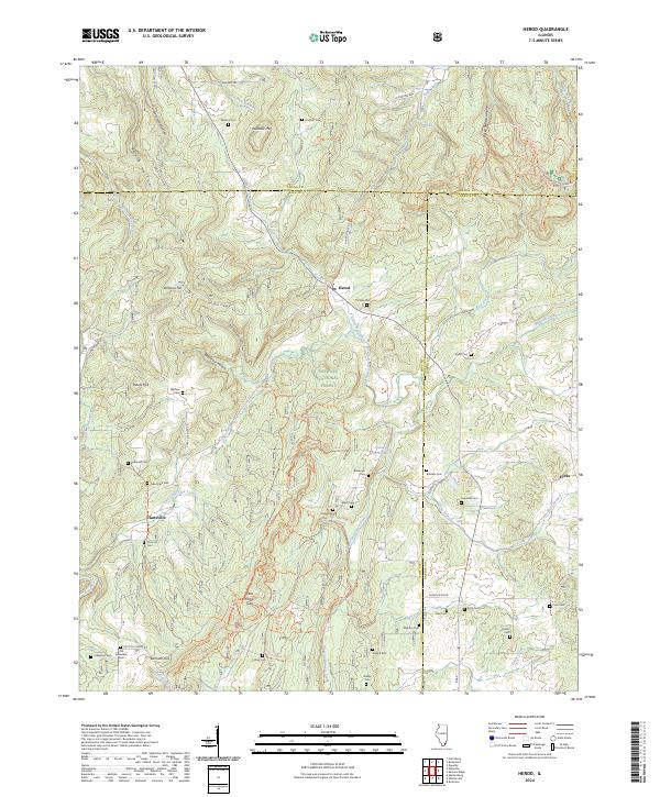
2024 Map of Herod
USGS Topo · Published 2024About this map
The intersection of the Saline, Pope, and Hardin county lines defines this portion of the Shawnee National Forest, where steep ridges and hollows dictate the layout of small settlements like Herod and Hartsville. The landscape is deeply carved by water, most notably the winding course of Big Grand Pierre Creek and the smaller Little Lusk Creek, while heights such as Wamble Mtn and Williams Hill tower over the valleys. Local history is preserved in a dense network of family and community burial grounds, including the Bethesda Cemetery, Hogg Cemetery, and the Old Grandpier Cemetery.
Find a feature on this map
76 named features on this map. Tap any name to fly to it.
Don’t see what you’re looking for? This feature index may not catch every label — zoom into the map to look around manually.
Map Details
Editions of this 2024 Herod Map
This is the sole edition of this map. No revisions or reprints were ever made.
Other maps of this area

1916 · Golconda
USGS Topo · 1:62,500

1916 · Equality
USGS Topo · 1:62,500

1917 · Brownfield
USGS Topo · 1:62,500

1920 · Goloonda
USGS Topo · 1:48,000

1921 · Golconda
USGS Topo · 1:62,500

1925 · Harrisburg
USGS Topo · 1:62,500

1939 · Harrisburg
USGS Topo · 1:62,500

1949 · Paducah
USGS Topo · 1:250,000

1950 · Paducah
USGS Topo · 1:250,000

1954 · Paducah
USGS Topo · 1:250,000