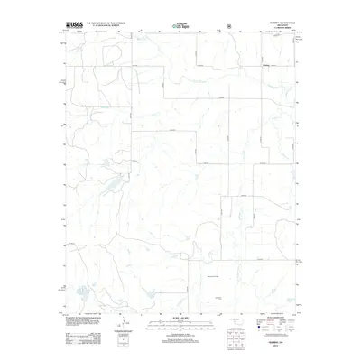
2012 Map of Herring
USGS Topo · Published 2012About this map
Herring serves as a central reference point in this western Oklahoma landscape, situated where the Washita River meanders across the northern territory. The terrain is defined by a dense network of seasonal and perennial waterways, including Sandstone Cr and its major tributary, the E Fork Sandstone Cr. These drainages have historically shaped the settlement patterns of Roger Mills County, as evidenced by the placement of the Sandstone Cem and the concentrated resource extraction at the Carpenter Gas Field. To the southwest, Taylor Lake provides a significant water catchment amongst the section-line road system. The map reveals the intersection of natural hydrology and human industry, showing how the local economy utilizes the land for both agriculture and energy, while maintaining small-town heritage sites that remain critical for genealogical research and land-use studies.
Find a feature on this map
27 named features on this map. Tap any name to fly to it.
Don’t see what you’re looking for? This feature index may not catch every label — zoom into the map to look around manually.
Map Details
Editions of this 2012 Herring Map
This is the sole edition of this map. No revisions or reprints were ever made.
Other maps of this area

1955 · Clinton
USGS Topo · 1:250,000

1957 · Clinton
USGS Topo · 1:250,000

1960 · Cheyenne
USGS Topo · 1:62,500

1960 · Sayre
USGS Topo · 1:62,500

1960 · Hammon
USGS Topo · 1:62,500

1961 · Elk City
USGS Topo · 1:62,500

1984 · Foss Reservoir
USGS Topo · 1:100,000

1985 · Elk City
USGS Topo · 1:100,000

1987 · Big Kiowa Creek
USGS Topo · 1:24,000

1987 · Elk City
USGS Topo · 1:24,000