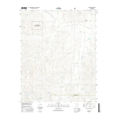
2016 Map of Herring
USGS Topo · Published 2016About this map
The Washita River meanders across the northern plains of this western Oklahoma landscape, defining the topography near the small settlement of Herring. This region is characterized by an extensive network of water management features, specifically numerous flood control structures along the Sandstone Cr and Beaverdam Cr drainage systems. These numbered reservoirs, such as Sandstone Creek Site 21 Reservoir and Beaver Dam Creek Site 5, reflect a highly engineered approach to soil conservation and water storage in the Great Plains.
Find a feature on this map
42 named features on this map. Tap any name to fly to it.
Don’t see what you’re looking for? This feature index may not catch every label — zoom into the map to look around manually.
Map Details
Editions of this 2016 Herring Map
This is the sole edition of this map. No revisions or reprints were ever made.
Other maps of this area

1955 · Clinton
USGS Topo · 1:250,000

1957 · Clinton
USGS Topo · 1:250,000

1960 · Cheyenne
USGS Topo · 1:62,500

1960 · Sayre
USGS Topo · 1:62,500

1960 · Hammon
USGS Topo · 1:62,500

1961 · Elk City
USGS Topo · 1:62,500

1984 · Foss Reservoir
USGS Topo · 1:100,000

1985 · Elk City
USGS Topo · 1:100,000

1987 · Big Kiowa Creek
USGS Topo · 1:24,000

1987 · Elk City
USGS Topo · 1:24,000