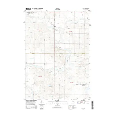
2014 Map of Hersey
USGS Topo · Published 2014About this map
Hersey sits at the confluence of the Hersey River and the Muskegon River, serving as a central point in this part of Osceola County. The landscape is defined by the winding paths of these waterways and a high density of small lakes, including Little Blodgett Lake, Hyrnes Lake, and Bevens Lake. Further north, a portion of Reed City is visible, while the southern reaches of the map transitions into Mecosta County near the settlement of Grant Center.
Find a feature on this map
68 named features on this map. Tap any name to fly to it.
Don’t see what you’re looking for? This feature index may not catch every label — zoom into the map to look around manually.
Map Details
Editions of this 2014 Hersey Map
This is the sole edition of this map. No revisions or reprints were ever made.
Other maps of this area

1931 · Chase NE
USGS Topo · 1:31,680

1954 · Midland
USGS Topo · 1:250,000

1958 · Midland
USGS Topo · 1:250,000

1958 · Woodville
USGS Topo · 1:62,500

1958 · Big Rapids
USGS Topo · 1:62,500

1959 · Midland
USGS Topo · 1:250,000

1959 · Evart
USGS Topo · 1:62,500

1959 · Reed City
USGS Topo · 1:62,500

1966 · Midland
USGS Topo · 1:250,000

1976 · Evart SW
USGS Topo · 1:24,000