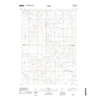
2019 Map of Hersey
USGS Topo · Published 2019About this map
The Muskegon River and Hersey River converge near the village of Hersey, defining a landscape of wetlands and lakes at the border of Osceola Co and Mecosta Co. This 2019 survey documents the modern layout of the area, where the Pere Marquette State Trail and Fred Meijer White Pine Trail State Park follow former railroad corridors, intersecting at Reed City. These rail-to-trail conversions emphasize the region's transition from an industrial timber and transport hub to a recreational destination. Genealogists will find several well-preserved burial grounds, including the Hersey Cem, Oakdale Cem, and the dual sites of Grant Center Number One Cem and Grant Center Number Two Cem near the settlement of Grant Center. The map also details numerous small water bodies such as Bevens Lake, Little Blodgett Lake, and Langworthy Lake, alongside the sprawling Featherbed Marsh to the southeast.
Find a feature on this map
72 named features on this map. Tap any name to fly to it.
Don’t see what you’re looking for? This feature index may not catch every label — zoom into the map to look around manually.
Map Details
Editions of this 2019 Hersey Map
This is the sole edition of this map. No revisions or reprints were ever made.
Other maps of this area

1931 · Chase NE
USGS Topo · 1:31,680

1954 · Midland
USGS Topo · 1:250,000

1958 · Midland
USGS Topo · 1:250,000

1958 · Woodville
USGS Topo · 1:62,500

1958 · Big Rapids
USGS Topo · 1:62,500

1959 · Midland
USGS Topo · 1:250,000

1959 · Evart
USGS Topo · 1:62,500

1959 · Reed City
USGS Topo · 1:62,500

1966 · Midland
USGS Topo · 1:250,000

1976 · Evart SW
USGS Topo · 1:24,000