
1954 Map of Hetherton
USGS Topo · Published 1956About this map
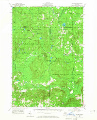
Pigeon River State Forest and its neighboring conservation lands dominate this northern Michigan landscape, where the headwaters of the Pigeon River and Black River weave through a network of glacial lakes and wetlands. The map reveals a mid-century wilderness managed for timber and recreation, anchored by the State Forest Headquarters and the Pigeon River Lookout Tower. While the settlement at Hetherton and the Metzger Sch represent the sparse human footprint in the south, the interior is defined by logging and sporting history.
Find a feature on this map
58 named features on this map. Tap any name to fly to it.
Don’t see what you’re looking for? This feature index may not catch every label — zoom into the map to look around manually.
Map Details
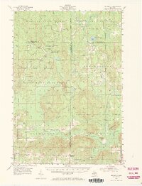
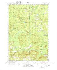
Editions of this 1954 Hetherton Map
4 editions found
Other maps of this area

1949 · Lewiston
USGS Topo · 1:62,500

1949 · Otsego Lake
USGS Topo · 1:62,500

1950 · Lewiston
USGS Topo · 1:24,000

1950 · Johannesburg
USGS Topo · 1:24,000

1950 · Turtle Lake
USGS Topo · 1:24,000

1951 · Turtle Lake
USGS Topo · 1:24,000

1951 · Johannesburg
USGS Topo · 1:24,000

1951 · Lewiston
USGS Topo · 1:24,000

1954 · Gaylord
USGS Topo · 1:62,500

1954 · Traverse City
USGS Topo · 1:250,000