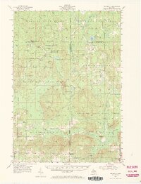
1954 Map of Hetherton
USGS Topo · Published 1972About this map
The northern Michigan forest landscape is defined by the convergence of several major conservation tracts in this mid-century survey. Hetherton serves as the primary named settlement, while the surrounding terrain is dominated by the Hardwood State Forest, Black Lake State Forest, and Pigeon River State Forest. The map documents a geography defined by specialized sporting clubs and forest management, featuring the Lansing Club, Beaver Dam Club, and the Black River Ranch Club with its own Black River Ranch Landing Field.
Find a feature on this map
65 named features on this map. Tap any name to fly to it.
Don’t see what you’re looking for? This feature index may not catch every label — zoom into the map to look around manually.
Map Details
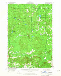
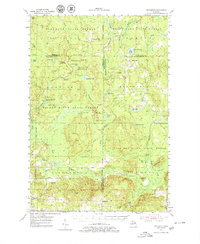
Editions of this 1954 Hetherton Map
4 editions found
Other maps of this area

1949 · Lewiston
USGS Topo · 1:62,500

1949 · Otsego Lake
USGS Topo · 1:62,500

1950 · Lewiston
USGS Topo · 1:24,000

1950 · Johannesburg
USGS Topo · 1:24,000

1950 · Turtle Lake
USGS Topo · 1:24,000

1951 · Turtle Lake
USGS Topo · 1:24,000

1951 · Johannesburg
USGS Topo · 1:24,000

1951 · Lewiston
USGS Topo · 1:24,000

1954 · Gaylord
USGS Topo · 1:62,500

1954 · Hetherton
USGS Topo · 1:62,500