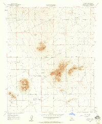
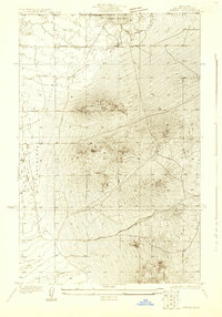
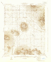
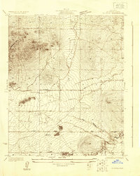
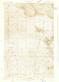
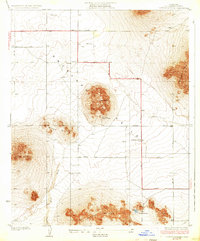
1957 Map of Hi Vista
USGS Topo · Published 1958About this map
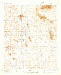
Saddleback Butte State Park anchors this desert landscape in the late 1950s, a period when the high desert of Los Angeles County was defined by its distinct volcanic buttes and emerging rural settlements. The map highlights significant cultural and natural landmarks, most notably the Antelope Valley Indian Museum situated near the base of Piute Butte. This location reveals the intersection of early indigenous history and mid-century desert life, where scattered prospects and a quarry suggest a local economy still tied to the earth's resources.
Find a feature on this map
36 named features on this map. Tap any name to fly to it.
Don’t see what you’re looking for? This feature index may not catch every label — zoom into the map to look around manually.
Map Details
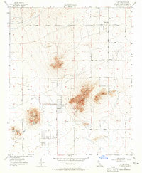
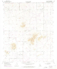
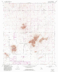
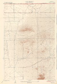
Editions of this 1957 Hi Vista Map
4 editions found
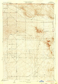
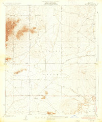
Other maps of this area
1930 · Joshua
USGS Topo · 1:24,000
1930 · Lovejoy Springs
USGS Topo · 1:24,000
1930 · Wilsona
USGS Topo · 1:24,000
1931 · Hi Vista
USGS Topo · 1:24,000
1933 · Lovejoy Springs
USGS Topo · 1:24,000
1934 · Joshua
USGS Topo · 1:24,000
1935 · Hi Vista
USGS Topo · 1:24,000
1935 · Wilsona
USGS Topo · 1:24,000
1937 · Shadow Mountains
USGS Topo · 1:48,000

1937 · Kramer
USGS Topo · 1:48,000