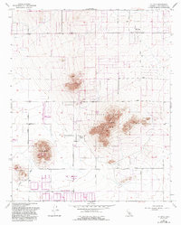
1957 Map of Hi Vista
USGS Topo · Published 1993About this map
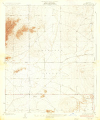
Saddleback Butte State Park dominates the landscape of this high desert region, anchored by the prominent elevations of Saddleback Butte and Little Butte. The map documents a period of transitioning land use, where rugged natural features like Blue Rock and Rocky Buttes stand alongside human developments such as the Antelope Valley State Indian Museum on Piute Butte.
Find a feature on this map
34 named features on this map. Tap any name to fly to it.
Don’t see what you’re looking for? This feature index may not catch every label — zoom into the map to look around manually.
Map Details
Editions of this 1957 Hi Vista Map
4 editions found
Other maps of this area

1930 · Joshua
USGS Topo · 1:24,000

1930 · Lovejoy Springs
USGS Topo · 1:24,000

1930 · Wilsona
USGS Topo · 1:24,000

1931 · Hi Vista
USGS Topo · 1:24,000

1933 · Lovejoy Springs
USGS Topo · 1:24,000

1934 · Joshua
USGS Topo · 1:24,000

1935 · Hi Vista
USGS Topo · 1:24,000
1935 · Wilsona
USGS Topo · 1:24,000

1937 · Shadow Mountains
USGS Topo · 1:48,000

1937 · Kramer
USGS Topo · 1:48,000