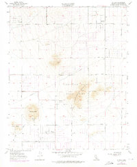
1957 Map of Hi Vista
USGS Topo · Published 1975About this map
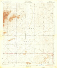
Saddleback Butte State Park dominates the eastern landscape of this high desert region in northeastern Los Angeles County. The 1957 survey, with revisions added in the 1970s, captures a transitional period of sparse desert settlement characterized by a strict grid of dirt and light-duty roads such as East Avenue J and East Avenue M. The map highlights cultural preservation at the Antelope Valley Indian Museum, located near the base of Piute Butte. Small residential pockets like Hi Vista and Wilsona Gardens are visible among the larger terrain features including Rocky Buttes and Blue Rock. Significant land use evidence appears through several prospects, a Quarry, and a Sandpit, reflecting early industrial interest in the valley floor. The Wilsona School stands as a local landmark amidst the arid terrain of Big Rock Wash.
Find a feature on this map
36 named features on this map. Tap any name to fly to it.
Don’t see what you’re looking for? This feature index may not catch every label — zoom into the map to look around manually.
Map Details
Editions of this 1957 Hi Vista Map
4 editions found
Other maps of this area

1930 · Joshua
USGS Topo · 1:24,000

1930 · Lovejoy Springs
USGS Topo · 1:24,000

1930 · Wilsona
USGS Topo · 1:24,000

1931 · Hi Vista
USGS Topo · 1:24,000

1933 · Lovejoy Springs
USGS Topo · 1:24,000

1934 · Joshua
USGS Topo · 1:24,000

1935 · Hi Vista
USGS Topo · 1:24,000
1935 · Wilsona
USGS Topo · 1:24,000

1937 · Shadow Mountains
USGS Topo · 1:48,000

1937 · Kramer
USGS Topo · 1:48,000