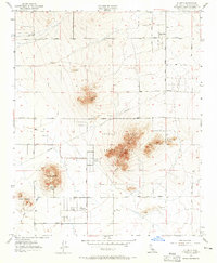
1957 Map of Hi Vista
USGS Topo · Published 1965About this map
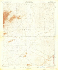
The Antelope Valley Indian Museum sits at the base of Piute Butte, anchoring a landscape where High Desert topography meets early rural development. This mid-century survey captures the community of Hi Vista and the emerging tracts of Wilsona Gardens, organized around a strict grid of East Avenues and North Streets. The prominence of Joshua Trees State Park dominates the central eastern portion of the map, illustrating the preservation of native flora amid agricultural and residential aspirations.
Find a feature on this map
39 named features on this map. Tap any name to fly to it.
Don’t see what you’re looking for? This feature index may not catch every label — zoom into the map to look around manually.
Map Details
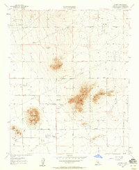
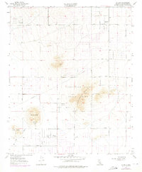
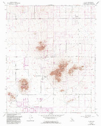
Editions of this 1957 Hi Vista Map
4 editions found
Other maps of this area

1930 · Joshua
USGS Topo · 1:24,000

1930 · Lovejoy Springs
USGS Topo · 1:24,000

1930 · Wilsona
USGS Topo · 1:24,000

1931 · Hi Vista
USGS Topo · 1:24,000

1933 · Lovejoy Springs
USGS Topo · 1:24,000

1934 · Joshua
USGS Topo · 1:24,000

1935 · Hi Vista
USGS Topo · 1:24,000
1935 · Wilsona
USGS Topo · 1:24,000

1937 · Shadow Mountains
USGS Topo · 1:48,000

1937 · Kramer
USGS Topo · 1:48,000