
1960 Map of Hickison Summit
USGS Topo · Published 1961About this map
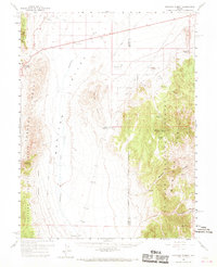
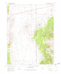
Stoneberger Valley and the Monitor Valley divide the high-altitude landscape of central Nevada in this 1960 survey. The map details a grazing-oriented economy where isolated outposts like Grimes Ranch, Vias Ranch, and Hodges Ranch define the sparse settlement pattern of Lander and Eureka counties. Rising between the valleys, the Monitor Range and Simpson Park Mountains dominate the terrain, much of which falls within the Toiyabe National Forest.
Find a feature on this map
36 named features on this map. Tap any name to fly to it.
Don’t see what you’re looking for? This feature index may not catch every label — zoom into the map to look around manually.
Map Details
Editions of this 1960 Hickison Summit Map
3 editions found
Other maps of this area

1926 · Roberts Mountains
USGS Topo · 1:250,000

1929 · Roberts Mountains
USGS Topo · 1:250,000

1955 · Millett
USGS Topo · 1:250,000

1956 · Bartine Ranch
USGS Topo · 1:62,500

1956 · Mount Callaghan
USGS Topo · 1:62,500

1956 · Horse Heaven Mtn
USGS Topo · 1:62,500

1956 · Antelope Peak
USGS Topo · 1:62,500

1956 · Ackerman Canyon
USGS Topo · 1:62,500

1959 · Millett
USGS Topo · 1:250,000

1960 · Spencer Hot Springs
USGS Topo · 1:62,500