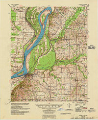
1955 Map of Hickman
USGS Topo · Published 1955About this map
The Mississippi River dominates this mid-century survey of the tri-state corner, carving deep meanders like Beckwith Bend and defining the complex floodplain around Hickman, Kentucky. This 1955 edition reveals an intricate network of levees and river engineering, including the Hickman Revetment and numerous gauges. East of the river, the landscape transitions from the wet lowlands of Bayou de Chien to the upland settlements of Oakton and Moscow. The map is particularly rich for genealogical research, documenting dozens of named rural institutions such as Poplar Grove Ch & Cem, Sassafras Ridge Ch & Sch, and the Zion Ch & Cem. The Illinois Central railroad cuts through the terrain, connecting the river port at Hickman to the agricultural interior near Cayce and the Tennessee border.
Find a feature on this map
75 named features on this map. Tap any name to fly to it.
Don’t see what you’re looking for? This feature index may not catch every label — zoom into the map to look around manually.
Map Details
Editions of this 1955 Hickman Map
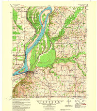
2 editions found
Other maps of this area

1925 · Reelfoot Lake
USGS Topo · 1:62,500

1939 · Wickliffe
USGS Topo · 1:62,500

1939 · Reelfoot Lake
USGS Topo · 1:62,500

1939 · Charleston
USGS Topo · 1:62,500

1939 · Hickman
USGS Topo · 1:62,500

1939 · Bayouville
USGS Topo · 1:62,500

1951 · Cayce
USGS Topo · 1:24,000

1951 · Bondurant
USGS Topo · 1:24,000

1951 · Oakton
USGS Topo · 1:24,000

1951 · Hickman
USGS Topo · 1:24,000