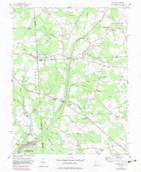
1955 Map of Hickman
USGS Topo · Published 1983About this map
Idylwild Wildlife Management Area anchors the landscape along the Maryland-Delaware border, where the headwaters of Marshyhope Creek and its numerous tributaries like Cattail Branch weave through the borderlands. The map reveals a rural economy shaped by complex drainage systems, including the Hickman Ditch and Sampson Ditch, which supported agricultural development across the flat terrain. Settlements like Hickman and Adamsville sit directly on the state line, illustrating the unique cross-border community structure of the mid-20th century.
Find a feature on this map
46 named features on this map. Tap any name to fly to it.
Don’t see what you’re looking for? This feature index may not catch every label — zoom into the map to look around manually.
Map Details
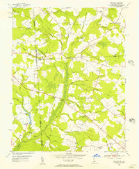
Editions of this 1955 Hickman Map
2 editions found
Other maps of this area

1905 · Denton
USGS Topo · 1:62,500

1905 · Hurlock
USGS Topo · 1:62,500

1915 · Seaford
USGS Topo · 1:62,500

1918 · Harrington
USGS Topo · 1:62,500

1944 · Denton
USGS Topo · 1:31,680

1944 · Federalsburg
USGS Topo · 1:31,680

1944 · Seaford
USGS Topo · 1:62,500

1944 · Hobbs
USGS Topo · 1:31,680
1944 · Harrington
USGS Topo · 1:62,500

1946 · Salisbury
USGS Topo · 1:250,000