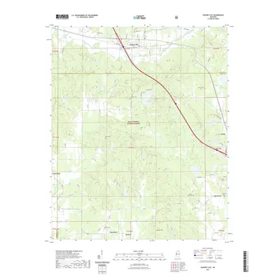
2021 Map of Hickory Flat
USGS Topo · Published 2021About this map
Hickory Flat and Myrtle anchor this portrait of north-central Mississippi, where the headwaters of several creek systems carve through the landscape of the Holly Springs National Forest. The map documents a rural transition from the older settlement at Old Myrtle to the modern municipal centers, connected by thoroughfares like Old Hwy 78. Notable for genealogists is the high density of family and community burial grounds scattered throughout the forest and farmlands, including the Macedonia Cem, Ebenezer Cem, and the McKay Cem.
Find a feature on this map
91 named features on this map. Tap any name to fly to it.
Don’t see what you’re looking for? This feature index may not catch every label — zoom into the map to look around manually.
Map Details
Editions of this 2021 Hickory Flat Map
This is the sole edition of this map. No revisions or reprints were ever made.
Other maps of this area

1942 · Denmark
USGS Topo · 1:62,500

1943 · Denmark
USGS Topo · 1:62,500

1944 · Potts Camp
USGS Topo · 1:62,500

1945 · Potts Camp
USGS Topo · 1:62,500

1949 · New Albany
USGS Topo · 1:62,500

1951 · New Albany
USGS Topo · 1:62,500

1955 · Blue Mountain
USGS Topo · 1:62,500

1956 · Tupelo
USGS Topo · 1:250,000

1958 · Tupelo
USGS Topo · 1:250,000

1980 · New Albany West
USGS Topo · 1:24,000