2024 Map of Hickory Flat
USGS Topo · Published 2024About this map
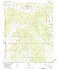
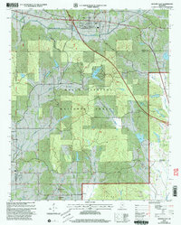
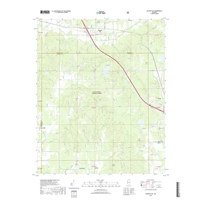
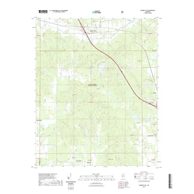
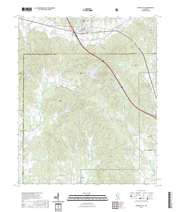
Hickory Flat and its surrounding countryside represent a significant intersection of rural settlement and managed timberlands in North Mississippi. The town sits at the northern edge of the Holly Springs National Forest, where a network of small creeks like Oaklimeter Creek and Rochester Creek weave through the hilly terrain. The landscape is dotted with several small cemeteries, such as Ebenezer Cem and Amaziah Cem, which serve as vital landmarks for genealogists tracing local families in the Benton and Union County area. Small communities such as Cornersville, Darden, and Old Myrtle anchor the southern and western portions of the sheet, connected by winding county roads.
Find a feature on this map
97 named features on this map. Tap any name to fly to it.
Don’t see what you’re looking for? This feature index may not catch every label — zoom into the map to look around manually.
Map Details
Editions of this 2024 Hickory Flat Map
This is the sole edition of this map. No revisions or reprints were ever made.
Historical Maps of Myrtle Through Time
7 maps found