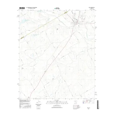
2016 Map of Hico
USGS Topo · Published 2016About this map
Hico serves as the primary hub in this portion of Hamilton County, situated where the North Bosque River meets several local drainage systems like Grubbs Br and Jacks Hollow Br. The town's grid is well-defined by historic street names such as S Railroad St, Pecan St, and Iredeli Rd, reflecting its development as a regional center. Outside the town center, the landscape is defined by the winding paths of Honey Creek and Gilmore Creek, along with several large reservoirs including Soil Conservation Service Site 25 Reservoir.
Find a feature on this map
72 named features on this map. Tap any name to fly to it.
Don’t see what you’re looking for? This feature index may not catch every label — zoom into the map to look around manually.
Map Details
Editions of this 2016 Hico Map
This is the sole edition of this map. No revisions or reprints were ever made.
Other maps of this area
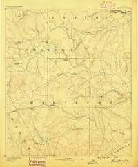
1888 · Hamilton
USGS Topo · 1:125,000
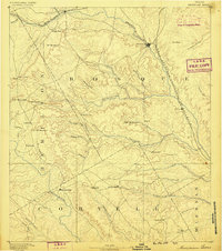
1888 · Meridian
USGS Topo · 1:125,000
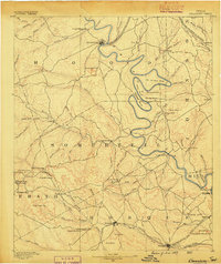
1889 · Granbury
USGS Topo · 1:125,000
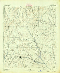
1890 · Stephenville
USGS Topo · 1:125,000
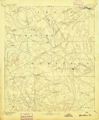
1894 · Hamilton
USGS Topo · 1:125,000
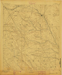
1894 · Meridian
USGS Topo · 1:125,000
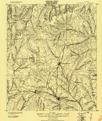
1920 · Stephenville
USGS Topo · 1:125,000

1954 · Brownwood
USGS Topo · 1:250,000

1954 · Dallas
USGS Topo · 1:250,000

1954 · Waco
USGS Topo · 1:250,000