
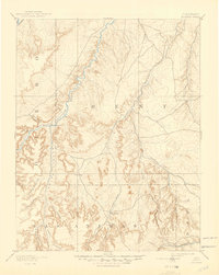
1893 Map of Higbee
USGS Topo · Published 1893About this map
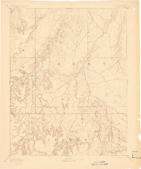
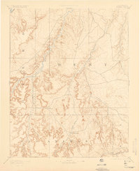
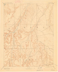
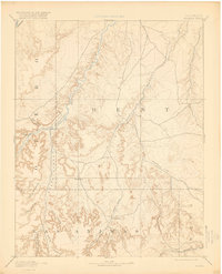
The Purgatoire River carves a deep path through southeastern Colorado in this late nineteenth-century topographic study, which captures the rugged junction of Otero, Bent, Las Animas, and Baca counties. The settlement of Higbee and the nearby JJ Ranch represent the primary points of human occupation in a landscape otherwise defined by an intricate network of drainages. The river valley is flanked by numerous named topographic features, including Higbee Canyon and Smith Canyon.
Find a feature on this map
23 named features on this map. Tap any name to fly to it.
Don’t see what you’re looking for? This feature index may not catch every label — zoom into the map to look around manually.
Map Details
Editions of this 1893 Higbee Map
6 editions found
Other maps of this area

1891 · Catlin
USGS Topo · 1:125,000

1891 · Higbee
USGS Topo · 1:125,000

1891 · Las Animas
USGS Topo · 1:125,000

1891 · Timpas
USGS Topo · 1:125,000

1891 · Springfield
USGS Topo · 1:125,000

1891 · Mesa De Maya
USGS Topo · 1:125,000

1892 · Lamar
USGS Topo · 1:125,000

1892 · Two Butte
USGS Topo · 1:125,000

1892 · Mt Carrizo
USGS Topo · 1:125,000

1893 · Two Butte
USGS Topo · 1:125,000