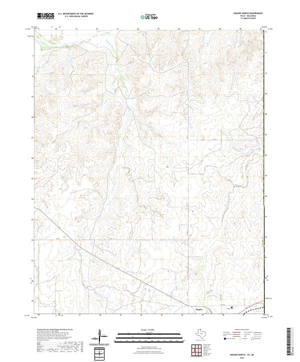
2022 Map of Higgins North
USGS Topo · Published 2022About this map
Higgins sits at the southern edge of this West Texas landscape, where the town grid transitions into the expansive drainage systems of the northeastern Panhandle. The area is defined by the winding paths of Wolf Cr and its tributaries, including Canyon Cr and Bridge Cr, which carve through the high plains. For genealogists and local historians, the Higgins Cem located just east of the primary settlement provides a key point of reference for the community. The map details a network of county roads, such as Co RD Aa and Co RD T, that connect scattered ranching or agricultural sites across the state line near the border with Oklahoma. The distinct labels for Long Creek and its smaller branch, Long Cr, highlight the subtle hydrological features essential to life in Lipscomb Co.
Find a feature on this map
21 named features on this map. Tap any name to fly to it.
Don’t see what you’re looking for? This feature index may not catch every label — zoom into the map to look around manually.
Map Details
Editions of this 2022 Higgins North Map
This is the sole edition of this map. No revisions or reprints were ever made.
Other maps of this area

1954 · Perryton
USGS Topo · 1:250,000

1955 · Woodward
USGS Topo · 1:250,000

1958 · Perryton
USGS Topo · 1:250,000

1958 · Woodward
USGS Topo · 1:250,000

1969 · Shattuck
USGS Topo · 1:24,000
1970 · Arnett SW
USGS Topo · 1:24,000

1970 · Goodwin
USGS Topo · 1:24,000

1972 · Follett SE
USGS Topo · 1:24,000

1972 · Skunk Creek
USGS Topo · 1:24,000
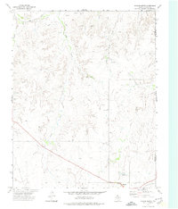
1972 · Higgins North
USGS Topo · 1:24,000