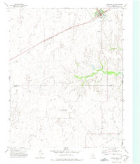
1972 Map of Higgins South
USGS Topo · Published 1974About this map
The High Plains landscape of the Texas Panhandle is defined by the Atchison Topeka and Santa Fe railroad corridor and the industrial footprint of the Feldman Oil and Gas Field. Centered on the town of Higgins, this early 1970s survey captures a community deeply integrated with the energy and transportation sectors. The town itself features a Municipal Airfield and a prominent Water Tank, while the surrounding prairie is dotted with a network of pipelines and numerous oil wells.
Find a feature on this map
16 named features on this map. Tap any name to fly to it.
Don’t see what you’re looking for? This feature index may not catch every label — zoom into the map to look around manually.
Map Details
Editions of this 1972 Higgins South Map
This is the sole edition of this map. No revisions or reprints were ever made.
Other maps of this area

1954 · Perryton
USGS Topo · 1:250,000

1954 · Amarillo
USGS Topo · 1:250,000

1955 · Clinton
USGS Topo · 1:250,000

1955 · Woodward
USGS Topo · 1:250,000

1957 · Clinton
USGS Topo · 1:250,000

1958 · Perryton
USGS Topo · 1:250,000

1958 · Woodward
USGS Topo · 1:250,000

1958 · Amarillo
USGS Topo · 1:250,000

1966 · Antelope Hills
USGS Topo · 1:24,000
1970 · Arnett SW
USGS Topo · 1:24,000