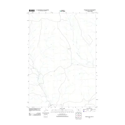
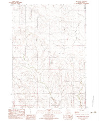
2012 Map of High Elk Hill SW
USGS Topo · Published 2012About this map
Collins Ranch sits within a landscape defined by the drainage networks of West-Central South Dakota during the early 21st century. The terrain is characterized by the meandering paths of Dupree Cr and Cottonwood Cr, which provide the primary geographical structure for the area. This portion of Ziebach County reflects a sparse settlement pattern typical of the region's ranching economy, with Geno Hunt Ranch serving as another key local landmark. Transport through this prairie environment is facilitated by the Co Rd, which connects these remote outposts. The map documents the enduring reliance on natural watercourses and established ranching properties in a part of the state where the vast majority of the land remains dedicated to agriculture and livestock.
Find a feature on this map
5 named features on this map. Tap any name to fly to it.
Don’t see what you’re looking for? This feature index may not catch every label — zoom into the map to look around manually.
Map Details
Editions of this 2012 High Elk Hill SW Map
This is the sole edition of this map. No revisions or reprints were ever made.
Other maps of this area

1954 · Pierre
USGS Topo · 1:250,000
1955 · Rattlesnake Lake NE
USGS Topo · 1:24,000
1956 · Cherry Creek NW
USGS Topo · 1:24,000
1956 · Carlin Flat
USGS Topo · 1:24,000

1958 · Pierre
USGS Topo · 1:250,000
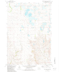
1981 · High Elk Hill NW
USGS Topo · 1:24,000
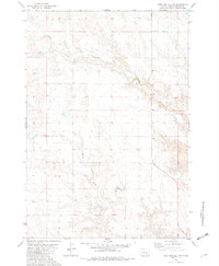
1981 · High Elk Hill SE
USGS Topo · 1:24,000
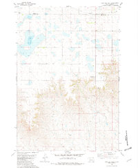
1981 · High Elk Hill
USGS Topo · 1:24,000
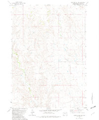
1981 · High Elk Hill SW
USGS Topo · 1:24,000
1982 · Miller Dam
USGS Topo · 1:24,000