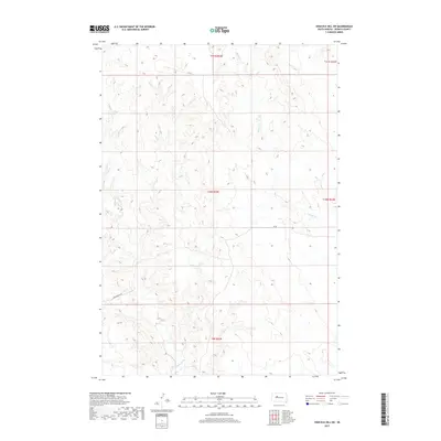
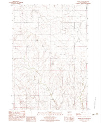
2017 Map of High Elk Hill SW
USGS Topo · Published 2017About this map
Dupree Cr and Cottonwood Cr carve through this Ziebach County landscape, highlighting the drainage patterns of the High Elk Hill region during the early twenty-first century. This 2017 survey by the U.S. Geological Survey illustrates a sparsely populated territory primarily organized by the Public Land Survey System, as seen in the grid lines of t11n r22e, t10n r22e, and surrounding townships. Infrastructure is limited to a few arterial routes, including Sunnybrook Rd and various segments of Co Rd, which provide access to the vast grazing lands or agricultural tracts between the creek beds. The topography is defined by subtle elevation shifts and winding watercourses, typical of the high plains of South Dakota.
Find a feature on this map
9 named features on this map. Tap any name to fly to it.
Don’t see what you’re looking for? This feature index may not catch every label — zoom into the map to look around manually.
Map Details
Editions of this 2017 High Elk Hill SW Map
This is the sole edition of this map. No revisions or reprints were ever made.
Other maps of this area

1954 · Pierre
USGS Topo · 1:250,000
1955 · Rattlesnake Lake NE
USGS Topo · 1:24,000
1956 · Cherry Creek NW
USGS Topo · 1:24,000
1956 · Carlin Flat
USGS Topo · 1:24,000

1958 · Pierre
USGS Topo · 1:250,000
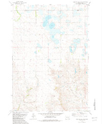
1981 · High Elk Hill NW
USGS Topo · 1:24,000
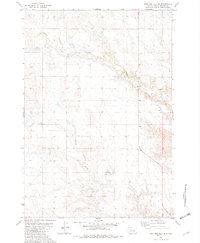
1981 · High Elk Hill SE
USGS Topo · 1:24,000
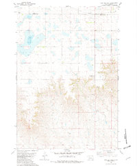
1981 · High Elk Hill
USGS Topo · 1:24,000
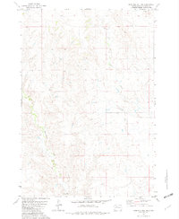
1981 · High Elk Hill SW
USGS Topo · 1:24,000
1982 · Miller Dam
USGS Topo · 1:24,000